Professional teams who benefit using Ghrups
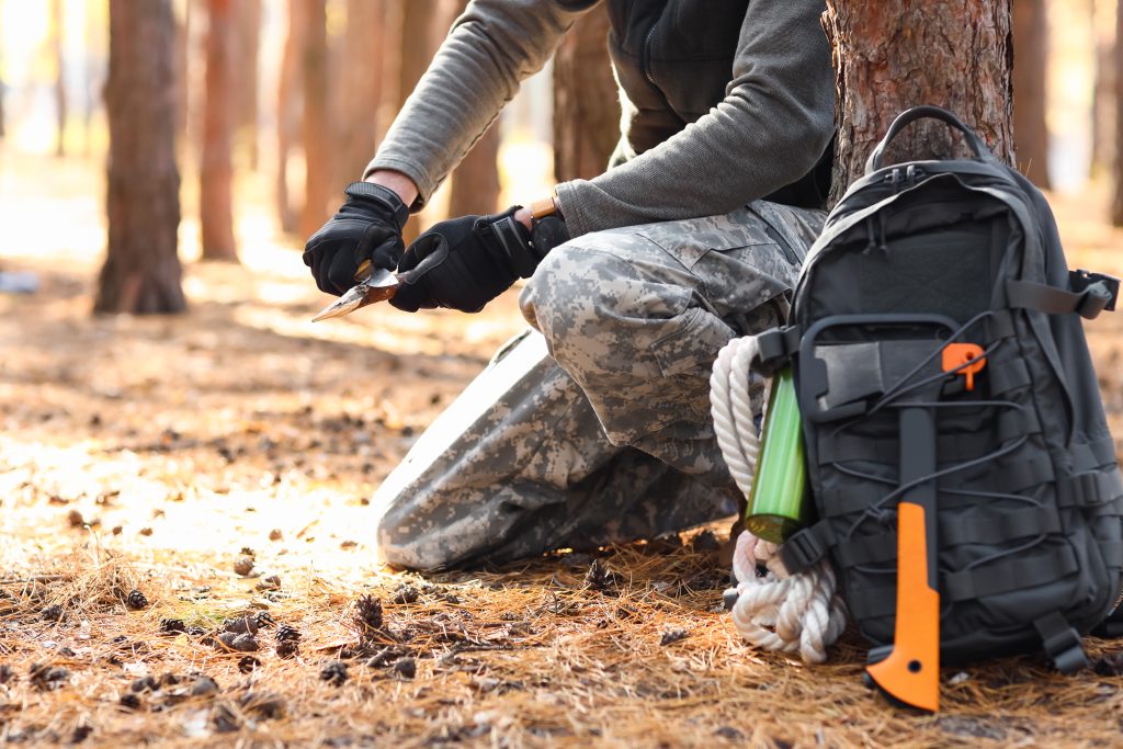
Ghrups, whilst being cost effective for individuals it is by no means only useful for personal collaborative family mapping. It is an essential app in the larger industrial sectors. Many companies can improve both their security and safety when using Ghrups. Many organisations, large and small can streamline their staff, logistics and processes with Ghrups, bringing them to their full potential, saving large administration costs and wasted downtime.

Search and Rescue Teams
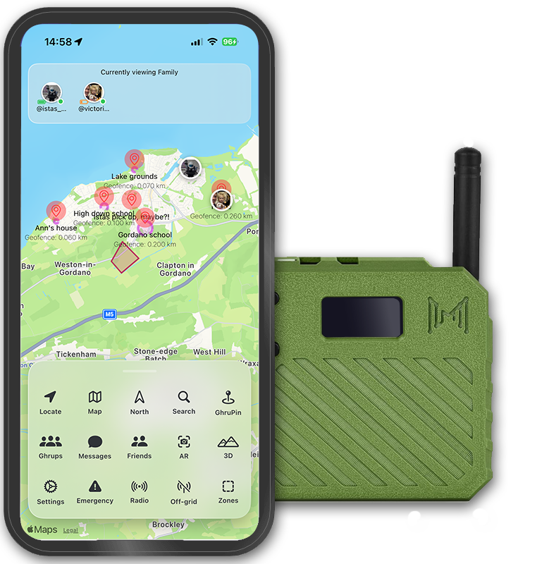
Coordinate in remote areas with real-time off-grid tracking via Meshtastic, set geofenced search zones, annotate hazards, and broadcast emergency positions to nearby devices for faster response in no-signal wilderness.
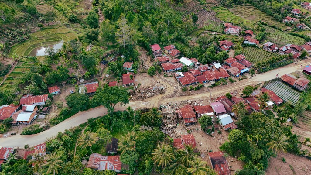
Disaster Relief Workers
Track volunteers in blackout zones, mark resource drops and hazards with polygons/geofences, use group messaging and off-grid radio broadcasts for coordination when infrastructure fails.
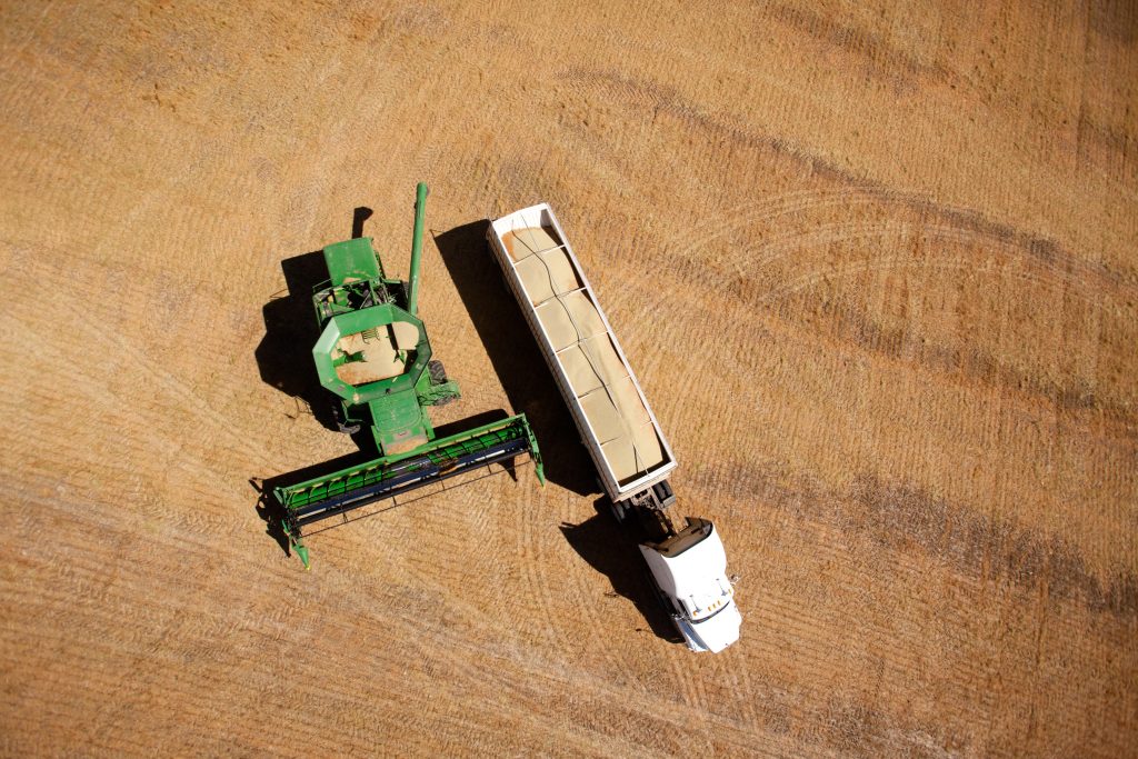
Large-Scale Farmers/Ranchers
Monitor workers and equipment across vast off-grid lands, set geofence alerts for boundaries/livestock, annotate issues, and communicate via mesh radio in remote fields.
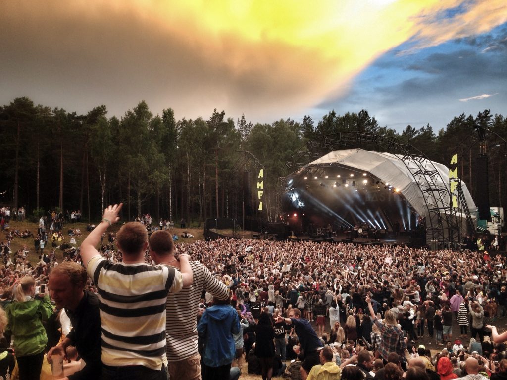
Event Organizers/Managers
Coordinate in remote areas with real-time off-grid tracking via Meshtastic, set geofenced search zones, annotate hazards, and broadcast emergency positions to nearby devices for faster response in no-signal wilderness.
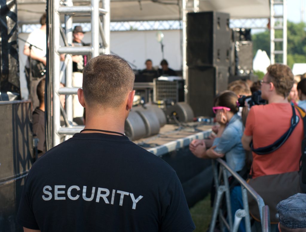
Security Guards/Patrol Officers
Monitor patrol routes in real-time, even in low-signal or blackout areas, with live tracking and geofence alerts for restricted zones. Mark hazards or incidents instantly, broadcast emergency SOS to teams, and use off-grid mesh messaging for secure coordination—enhancing officer safety and response efficiency.

Construction Site Supervisors
Track crew and assets on large sites, set polygon safety zones, annotate hazards, and trigger alerts for emergencies or boundary breaches.
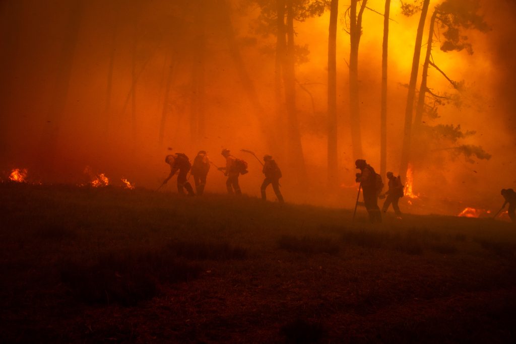
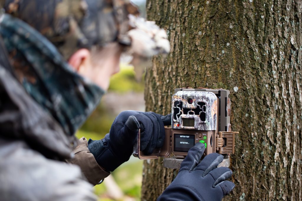
Forestry Workers/Wildfire Fighters
Real-time team positioning in fire zones, off-grid messaging, geofenced evacuation areas, and SOS broadcasts via mesh in remote forests.
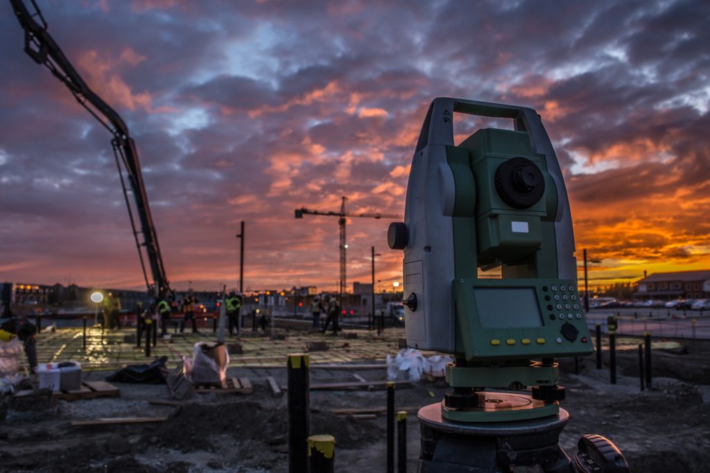
Surveyors/Land Managers
Annotate points off-grid, share waypoints via mesh, use 3D/AR views for terrain, and private geofences for project boundaries.
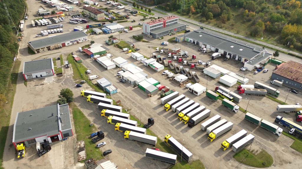
Delivery Fleet Managers
Track vehicles in rural/low-signal routes, geofence delivery zones, monitor assets, and enable emergency notifications for drivers.
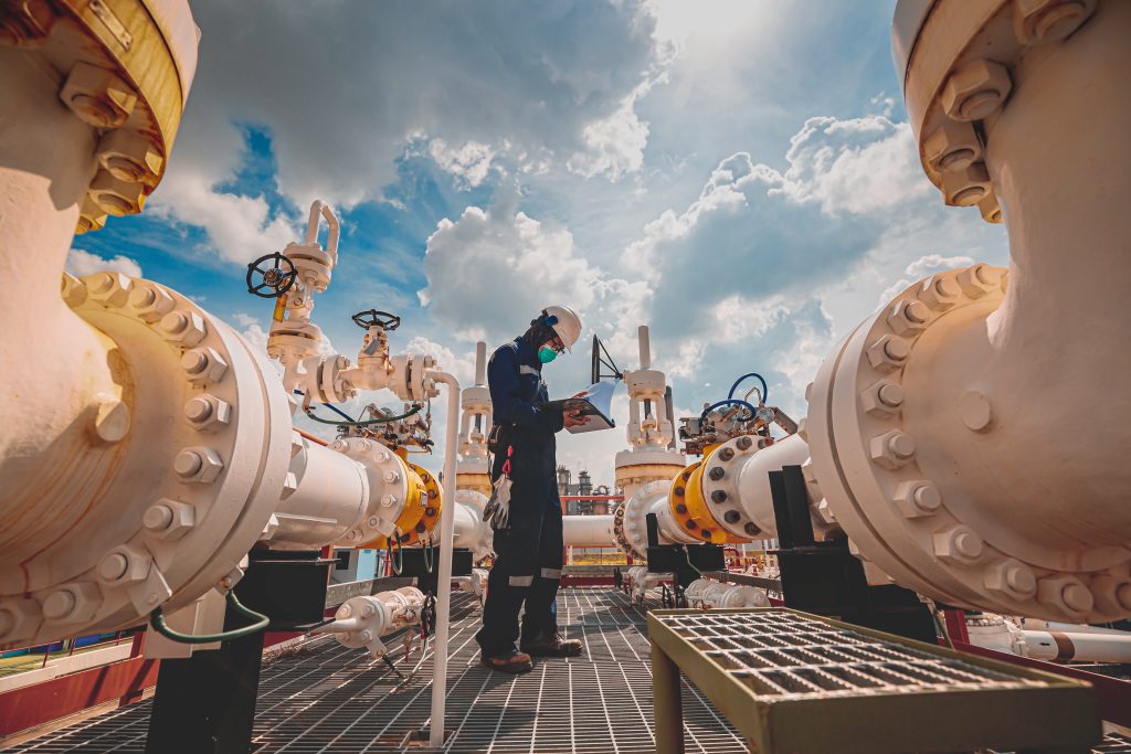
Lone Workers (Mining/Oil/Gas)
Fall detection and auto-alerts, private safe zones, off-grid position broadcasts, and compass/AR navigation in extreme remote sites.
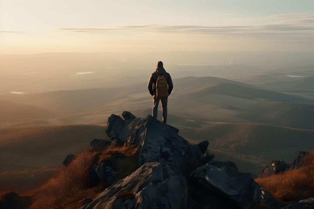
Ideal for Hobbyists too, track your movements, your distances and your friends.
Whether you’re a keen hiker, cyclist, runner, or outdoor enthusiast, Ghrups is perfect for hobbyists. Track your own movements and distances with precise GPS logging, monitor your progress on favourite routes, and stay connected with friends by sharing locations in real time—all with reliable off-grid mesh capabilities when mobile signal is unavailable.
Backcountry Hikers/Backpackers
Group tracking off-grid, waypoint sharing, emergency SOS via radio, AR navigation, and private geofences for campsites.
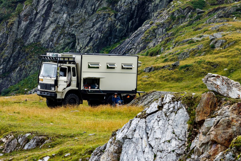
Overlanders/Off-Road Adventurers
Vehicle tracking in deserts/remotes, annotate trails, mesh messaging for convoys, and 3D terrain views.
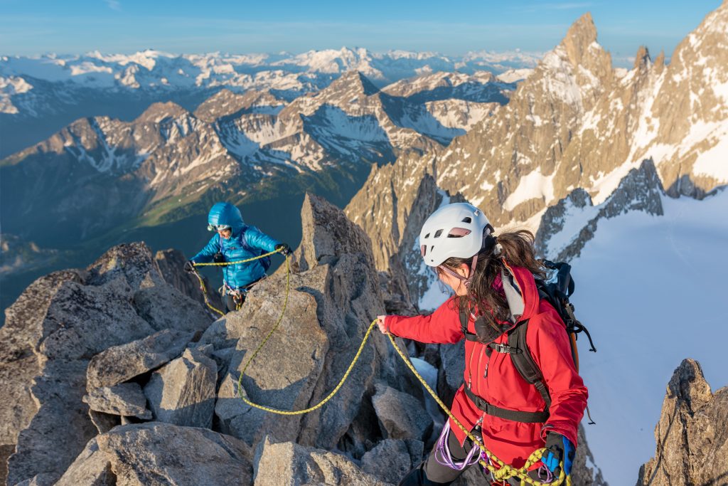
Mountaineers/Climbers
Real-time partner locations on routes, geofenced base camps, fall detection alerts, and off-grid broadcasts.
Wildlife Photographers
Solo safety with private zones, emergency alerts to nearby users, and off-grid annotation of sighting spots.
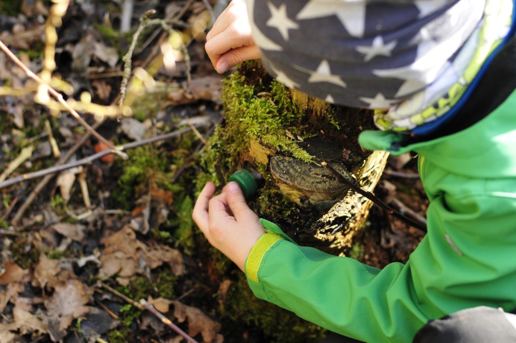
Geocachers
Share custom POI markers in groups, AR navigation to caches, and off-grid messaging for group hunts.
Amateur Radio Operators
Integrate with mesh devices for mapping, custom data signals, group channels, and extended off-grid range.
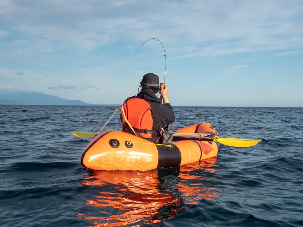
Sailors/Offshore Boaters
Track crew positions offshore, geofenced anchors, emergency broadcasts, and compass navigation without cell service.

Trail Runners/Ultra-Marathoners
Live tracking for support crews, private safe zones, fall detection, and AR route overlays in remote trails.
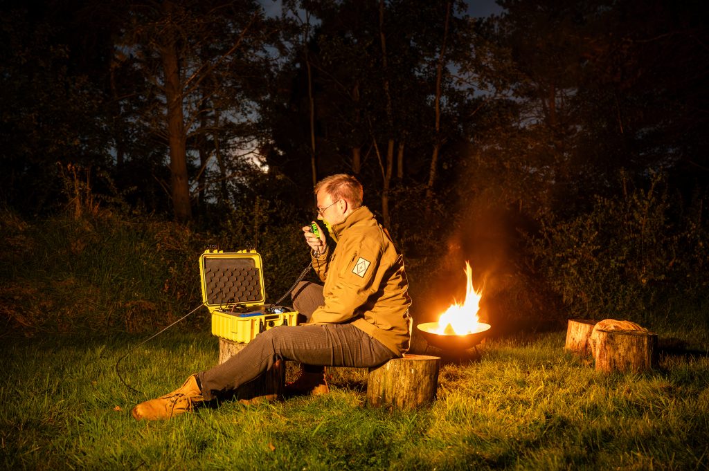
Prepper/Survivalist Communities
Private groups for resource sharing, off-grid alerts, polygon safe zones, and mesh communication in SHTF scenarios.
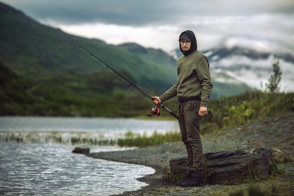
Hunters/Anglers in Remote Areas
Annotate spots off-grid, group tracking for parties, emergency notifications, and 3D views for terrain planning.
Contact us

Our Location
South West, United Kingdom

Our Email
help@ghrups.com